We wanted to create an interactive map of all of our filming locations, so we could not only see what distance they are away from eachother for planning and scheduling purposes, but also so we can visualise which route to take and where we will film the shots from.
To do this I used Google maps.
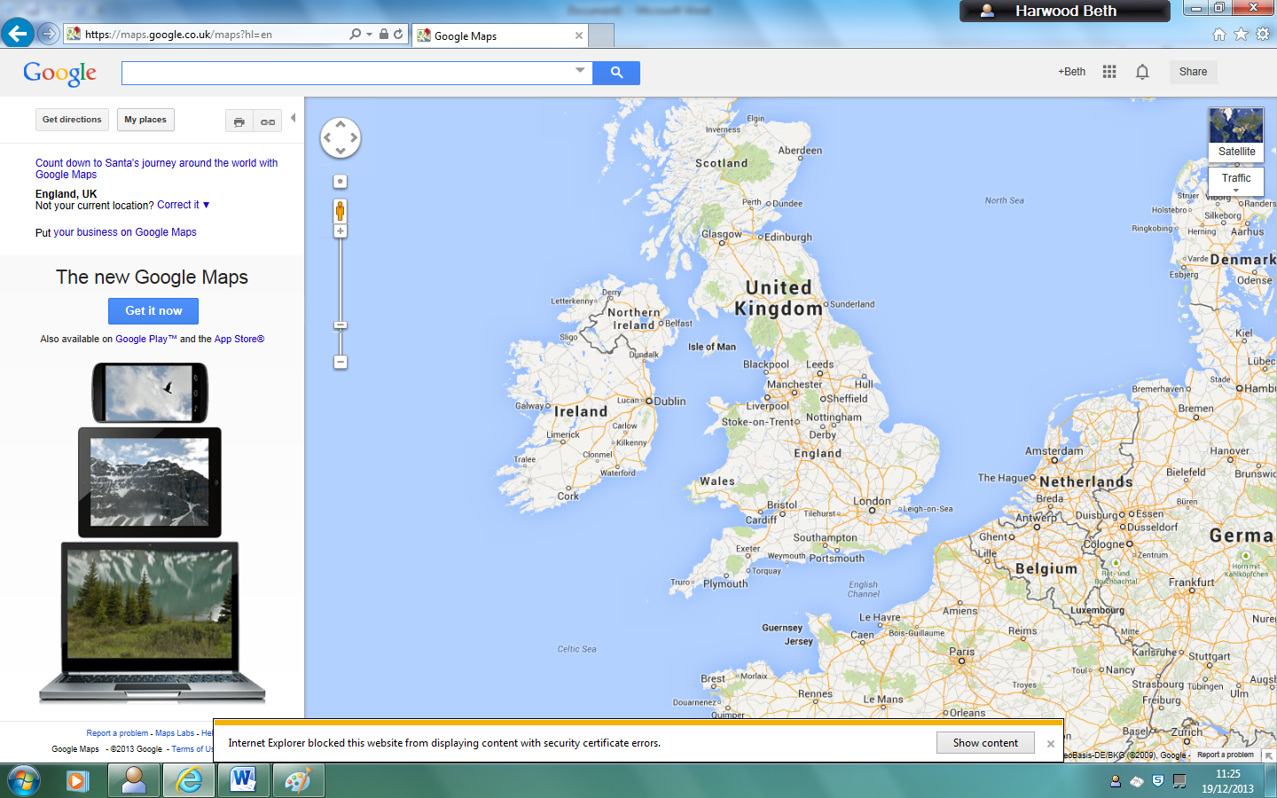
I logged in to my google account then clicked my maps, then create new map.

I then clicked create new marker and marked the first place of filming; Borough green train station

Then we decided to try to add a picture so that the map would be interactive, so we could click on any of our filming locations and see what they actually looked like.
We chose to use the pictures from Google street view.
So I print screened the Google streetview of our first location

However we discovered that you can't upload pictures directly from the desktop, it must be a web address.
First we tried using the free Google drive account to upload it however when we copy and pasted the sharing link it came up with a black screen.
We then checked the privacy settings and changed it to public
However it still didn't work.
So we Googled it and read through this Google answers forum
We attempted using Google Picassa but unfortunately it is blocked on the school system
So we then created a Flickr account, however this was also incompatible with the google maps system
We also tried creating a Photobucket account.

We uploaded the print screens of Borough Green station however we found even when we copied the address of the picture itself into Google Maps it still didn't work

We finally decided to concentrate on creating the locations on the map rather than the photos and found a way to change the icons on Google maps to represent different things

We chose to use small dots for short tunnels on the train, semi-circle with a dot in it for long tunnels on the train, the train icon for stations, waves for bridges, a P for the car park, a bed for the bedroom, a dollar sign for the bank, and a shopping bag for the shopping spree location.

Also we used the create line feature to show the route we would be walking. We made it a circular route to make the most of our time filming, and to avoid visiting the same locations twice, as it meant we could see as many different London streets as possible.
No comments:
Post a Comment